Thinking about selling your New Berlin acreage this spring? Rural land moves differently than houses, and the right prep can add real dollars to your bottom line. When you dial in pricing, confirm survey and access, and present the property with strong maps and visuals, you make it easy for buyers to say yes. This guide walks you through each step, tailored to New Berlin and Guadalupe County, so you can launch with confidence and avoid surprises. Let’s dive in.
Price your acreage right
Start with recent closed sales and compare on a per-acre basis. Then adjust for what buyers value most: road frontage, utilities, usable acres, water features, and improvements. Spring brings more land shoppers, so a well-supported price and polished presentation can speed up activity.
Use this quick pricing plan:
- Gather 3 to 6 nearby closed comps from the last 6 to 12 months and normalize to a per-acre number.
- Create a price range that accounts for buyer types (residential lifestyle, hobby farm, or development potential).
- Identify non-price levers that add appeal, like sharing a recent survey, clearing a driveway approach, or documenting well and septic details.
- Revisit the price after the first two weeks of market feedback.
Factors that move price in New Berlin
- Access and road type: Paved frontage typically increases value and buyer pool.
- Utilities: Power at the road, public water availability, and feasible septic improve marketability.
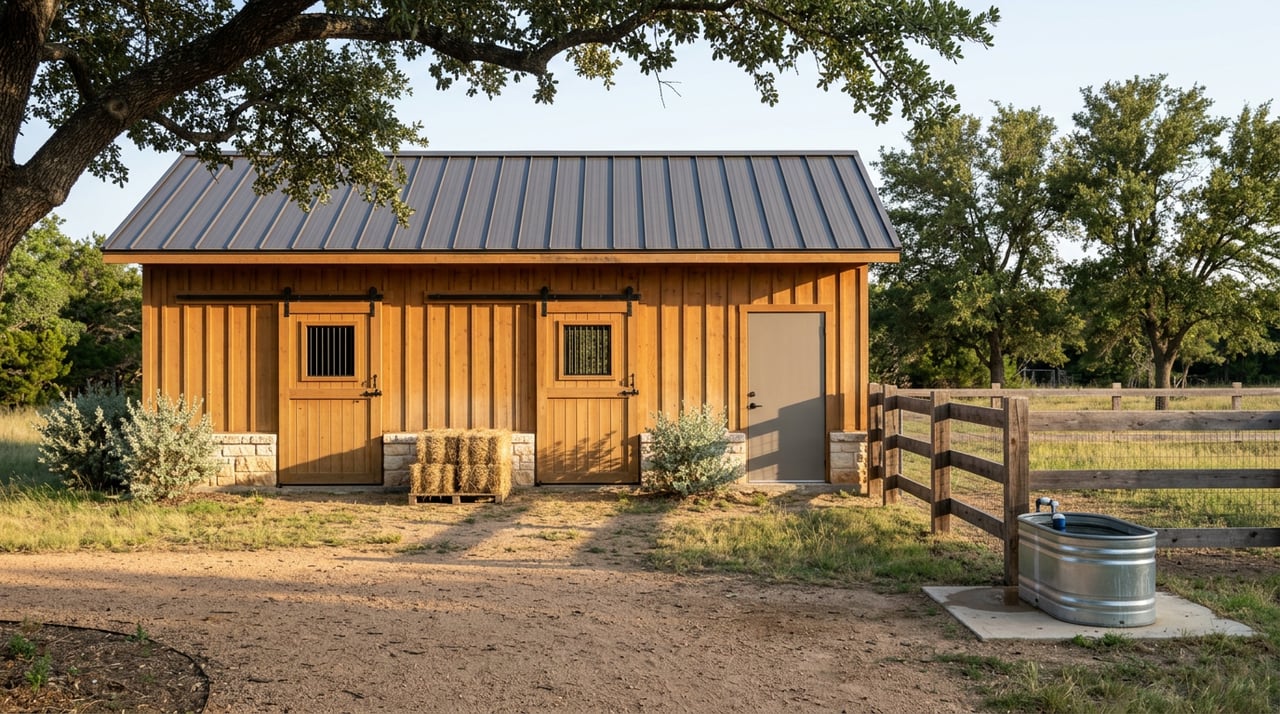
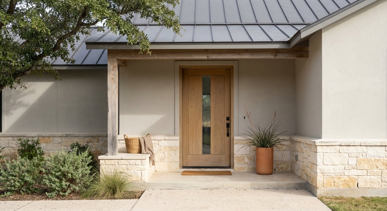
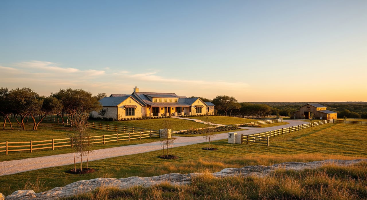
- Improvements: Homes, barns, fencing, pens, wells, ponds, or cross-fenced pastures can justify a higher price.
- Usable acres: Floodplain, steep slopes, or dense brush can reduce usable area relative to gross acreage.
- Water features: Ponds, creeks, and wells are strong lifestyle drivers for local buyers.
- Mineral interests: Ownership, existing leases, or active operations can affect value and demand.
- Subdivision potential: While much of Guadalupe County is unzoned, county platting, septic regulations, and setbacks still apply and can shape options.
- Agricultural valuation: Ag valuation status, and any potential rollback taxes, can affect net proceeds and buyer perception.
Prepare survey and title
A clean, current file inspires buyer confidence and helps financed buyers clear underwriting. Pull key records early to save time once you go live.
- Survey: A recent boundary survey is ideal. If your survey is older, ask your title company whether an update is needed (some buyers or lenders require ALTA/NSPS standards).
- Deed and legal description: Confirm your deed matches the surveyed boundaries and is recorded with the Guadalupe County Clerk.
- Easements and access: Gather recorded easements, road maintenance agreements, and any access instructions in writing.
- Mineral documentation: Collect evidence of what you own, what was reserved, and any leases or royalty history.
- Taxes and appraisal: Include your current tax bill and the Guadalupe County Appraisal District parcel report, especially if the land holds an agricultural or open-space valuation.
- Utilities and infrastructure: Provide well logs, pump tests, septic permits or inspections, and utility provider confirmations.
Lenders and title insurers often require a satisfactory survey and clear legal access. Missing or unclear items can limit your buyer pool to cash only and slow down negotiations.
Confirm local rules and risks
Buyers often ask about buildability, utilities, and environmental factors. Get ahead of those questions with documents from recognized authorities.
- County and records: Check the Guadalupe County Appraisal District for parcel data, assessed value, tax history, and exemption status. Search the Guadalupe County Clerk’s records for deeds, easements, and right-of-way documents.
- Permits and septic: Confirm county rules for wells, septic systems, and any accessory-structure requirements before listing.
- Disclosures: If your acreage includes a residence or improvements, review Texas Real Estate Commission guidance for the Seller’s Disclosure Notice. For vacant land, voluntary written disclosure of material facts is wise.
- Agricultural valuation: Review Texas Comptroller guidance and discuss with GCAD how a change in use could trigger rollback taxes or appraisal changes.
- Flood risk: Print the FEMA flood map for your tract. Many buyers will check insurability and financing implications.
- Soils and septic suitability: Use USDA NRCS Web Soil Survey outputs to show soil types and septic feasibility.
- Water: Identify any wells, permits, or tests. Groundwater is locally regulated, so document what you have.
Proactive, factual documentation speeds buyer due diligence and helps you negotiate from a position of strength.
Plan access and safe showings
Clear access and simple instructions make rural showings smoother and safer.
- Access route: Confirm legal access and mark a visible route from the nearest public road to designated parking. If access crosses private or gated roads, gather written permission and give clear gate codes or escort details.
- Signs and directions: Place a sign at the public approach if appropriate. Avoid signs on private property or inside rights-of-way. Provide GPS coordinates and a simple map in your listing and showing instructions.
- Buyer prep: Pre-qualify interest and set expectations for rural showings (footwear, distance to walk, no restrooms, livestock present). Consider scheduled viewing windows to manage security and animal safety.
- Safety basics: Warn about hazards like ponds, ditches, equipment, wells, or livestock. Secure animals when possible. Let someone know your showing schedule and carry a charged phone. Keep a simple gate log if preferred.
- Onsite packet: Provide a one-page fact sheet with a parcel map, survey excerpt, key photos, parking location, and utility contacts.
Create marketing that sells land
Strong visuals and clear data win attention and trust, especially with buyers coming from the San Antonio–Austin corridor.
- Visuals: Invest in recent aerials and drone video highlighting access points, improvements, water features, and likely homesites. For paid or commercial operations, ensure the drone pilot follows FAA Part 107 rules (licensed pilot, visual line of sight, 400 feet AGL maximum, and safety protocols) and respects privacy.
- Maps that matter: Include a parcel boundary overlay, topographic contours, soils map, and a floodplain overlay. If you have a survey, share it via downloadable documents.
- Messaging: Speak to likely buyer profiles such as commuter lifestyle buyers, hobby farmers or equestrian use, recreational buyers, and investors. Highlight the value drivers they care about: usable pasture, ponds, proximity to regional centers, privacy, quality soils, and turnkey improvements.
- Channels: Syndicate through MLS with all documents attached, then add land-focused portals for targeted exposure. Supplement with social media targeting around San Antonio and Austin, and tap broker networks or local boards when relevant.
- Responsiveness: Track inquiries by channel and respond quickly with documents buyers request. Speed builds credibility and keeps your listing top of mind.
Spring listing timeline
Here is a simple 30-day prep plan you can adapt to your tract and schedule.
- Week 1: Pull GCAD parcel report and tax bills, request title research, locate survey and easement documents, and book a survey update if needed.
- Week 2: Confirm well and septic details, gather permits or logs, and request utility availability statements. Order drone and ground photography.
- Week 3: Flag and clear a safe walking route, set parking, prepare a one-page fact sheet, and build your parcel, topo, soils, and flood maps.
- Week 4: Finalize pricing with comps, upload all documents to your listing, set showing windows and instructions, and go live.
What to disclose and share
Buyers make stronger offers when they can verify the facts. Package your file before day one on market.
- Current survey or survey update status
- Deed and legal description, plus any easements and road agreements
- GCAD parcel report, recent tax bills, and notes on ag valuation
- Mineral rights ownership and any leases
- Well logs, pump tests, and septic permits or inspections
- Utility provider confirmations for power and water
- FEMA flood map printout and USDA NRCS soils map
- One-page property fact sheet and high-quality aerials
Common pitfalls to avoid
- Overpricing by ignoring access, utilities, and usable acres
- Unclear access or missing road agreements
- Skipping a survey update when boundaries are uncertain
- Overlooking ag valuation and potential rollback taxes
- Listing without a showing plan or safety instructions
- Using drone footage without Part 107 compliance
Ready to sell in New Berlin?
If you want a smooth sale with fewer surprises, focus on pricing accuracy, clean documentation, safe access, and standout visuals. With a marketing-first approach and local acreage expertise, you can attract qualified buyers and negotiate with confidence. If you would like a pricing review, document checklist, or a custom launch plan for your tract, reach out to Kelly Wiggins to get started.
FAQs
How do I price per-acre land in New Berlin?
- Start with recent closed sales on a per-acre basis, then adjust for access, utilities, usable acres, water features, improvements, mineral interests, and any development potential.
Do I need a new survey to sell acreage in Guadalupe County?
- A recent boundary survey is recommended; lenders and title companies often require a satisfactory survey, and older surveys may need an update depending on buyer or title standards.
What is agricultural valuation and could rollback taxes apply when I sell?
- Agricultural or open-space valuation lowers taxes while in use, and a change in use can trigger rollback taxes, so review guidance with the appraisal district before listing.
How do mineral rights affect my land sale in Texas?
- Mineral rights can be separate from surface rights; disclose what you own and any leases, since ownership and active operations can influence value and buyer interest.
What documents should I share with rural land buyers?
- Provide the survey, deed and easements, GCAD parcel report and tax bills, mineral documentation, well and septic records, utility confirmations, flood and soils maps, and a concise fact sheet.
Is spring a good time to list acreage in Guadalupe County?
- Spring is typically active for land sales, with better weather for showings and site evaluation, which can help generate more buyer activity.
Can I use a drone to market my acreage?
- Yes, but commercial marketing requires compliance with FAA Part 107 rules, which is why hiring a licensed drone pilot is recommended.
How do lenders view access and surveys for rural properties?
- Clear legal access and a satisfactory survey are often required by lenders and title insurers, and missing items can limit financed buyers and slow the transaction.